Map Surroundings of Paris
MX026660
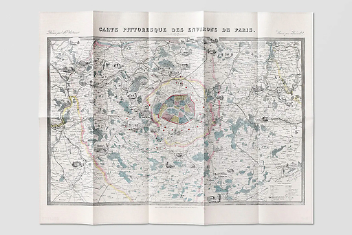
This topographic map of impressive size, consisting of 16 panels, was the result of an extremely painstaking task : that of Benedictine monk Dom Guillaume Coutans, member of the celebrated congregation of Saint-Maur, which published it in 1775 under Louis XVI. It was revised and expanded twenty-five...
Read more
This topographic map of impressive size, consisting of 16 panels, was the result of an extremely painstaking task : that of Benedictine monk Dom Guillaume Coutans, member of the celebrated congregation of Saint-Maur, which published it in 1775 under Louis XVI. It was revised and expanded twenty-five years later by Charles Picquet, another well-known geographer. The dark green carpet dotted with small red spots (with Paris in the centre) is teeming with details as precise as they are discreet.
Map
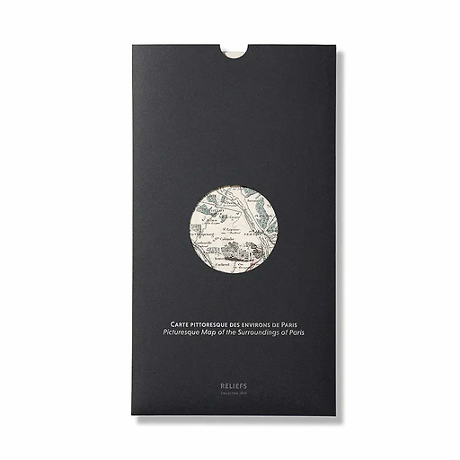
Folded size: 19,6 × 33,8 cm
Unfolded size: 98 × 67,6 cm
A card on the front, its story on the back
Bilingual French-English
Reliefs Éditions
Co-published with the BNF (The national Library of France)
Close
Sold by GrandPalaisRmn


